Moisture Update - June 5, 2024

Synopsis
Map 1: Since May 29, 2024, rainfall has been highly variable across the province (Map 1). Across parts of the Central and Southern Regions, as well as in a strip along the foothills, several stations recorded no precipitation. In contrast, most of the north half of the province received useful rains, ranging from 5-10 mm to well over 50 mm. Similarly, across the Peace Region, where drought fears have been building for several months now, many lands received 20-40 mm, which is a great start to the wet season. However, some lands northwest of Grande Prairie remained relatively dry, with the La Glace AGCM station only recording 2 mm. Since the start of the growing season on April 1, both La Glace and Beaverlodge have recorded 47 mm of precipitation, compared to their normal 70 mm. However, since May 15, precipitation patterns even in these previously very dry areas, are now trending to near normal.
Some agricultural lands across the North East received intense thunderstorm activity, with a large area south west of Lloydminster receiving over 40 mm. Most of this occurred over several hours on June 3, 2024. This was part of a particularly intense storm system that spawned a tornado that touched down near Endberg, a small town lying just south of the City of Camrose.
Given recent moisture across the province and the current trends of near to above normal rainfall patterns, 2024 is so far bringing hope and optimism to our farming communities. With June being the wettest month of the year, this further fuels the hope that we will put the drought of 2023 squarely in the rear view mirror. All we need now is warmer temperatures and further timely rains. Soil moisture reserves in many areas have recovered and crops should be able to withstand short duration dry spells that are common over the growing season

Growing Season Precipitation Accumulations
Map 2: Since the start of the growing season, most areas have received at least near normal moisture (Map 2) although exceptions do exist in small pockets in the North East, Central, and Southern Regions, along with a relatively large area northwest of Grande Prairie. Across the east-half of the province and over much of the northern Boreal forests, many areas are experiencing well above normal precipitation which hopefully this means smoke-free skies this summer.
Alberta is long due a wet year, and our rivers, lakes, sloughs, swamps, and dugouts have the capacity to hold much more water. Many of the front ranges are still snow covered, poised to release further runoff to our river systems, however; this early in the season, we are likely not out of the woods yet, with respect to drought or flooding, and anything can happen. Droughts and excess wet spells begin and end abruptly and June is a month to be watchful. Those areas where soils are overly wet will have less capacity to absorb excessive rains should they fall.

Soil Moisture Reserves
Maps 3, 4, and 5: With recent rains, soil moisture reserves have improved across the North East Region and through parts of the Peace Region, and roughly 70% of the province is considered to be at least 'near normal' (Map 3). However, it should be noted that 'normal' on these maps is a relatively wide category, and even some of those areas classified as 'near normal' are still below the statistical average.
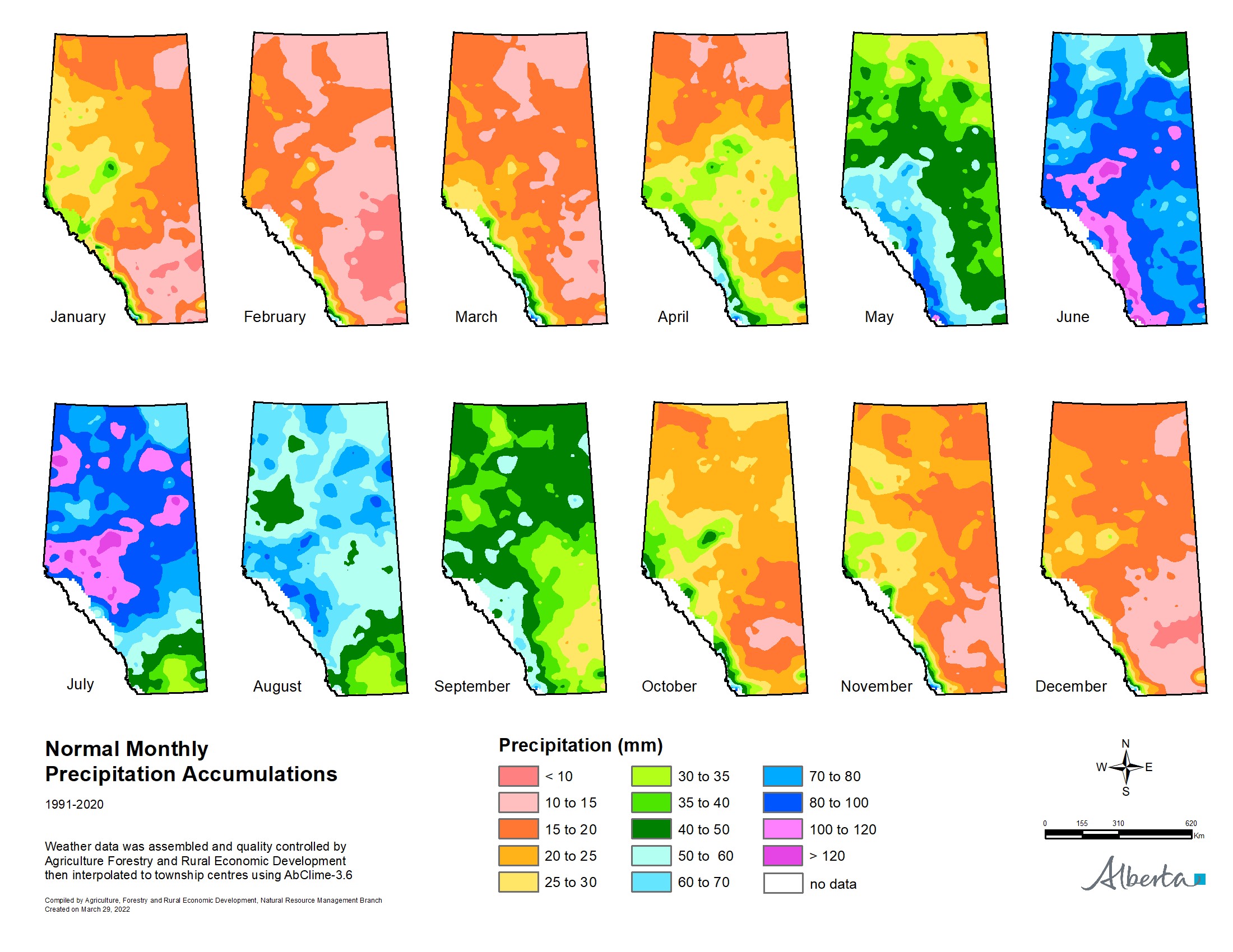
Dry areas still exist, and a small pocket of once in 50-year lows persists northwest of Grande Prairie, along with some dry areas in the extreme northern Peace Region (Map 3). Additionally, a large area in the Central Region is trending to at least once in 12 to 25 year lows, and there are some areas that are still relatively dry in all four Regions. Although, June is historically the wettest month of the year (Map 4), and soil moisture reserves usually build well into June, and only begin to dwindle as July looms, temperatures warm, and plant water demands begin to peak as crops develop efficient root systems that feed thirsty plant canopies.
Total plant available water (PAW) in the root zone (120 cm depth) is shown in Map 5. For perspective, actively growing crops need about 25 mm of water a week to sustain optimum growth rates, which increases significantly in extreme temperatures. This water is supplied by both precipitation and stored soil water, making PAW a critical moisture reserve that sustains plant growth when timely rains are delayed. As PAW increases, the soil's capacity to absorb excess rainfall diminishes accordingly. Once the upper end of the scale in Map 5 has been reached, soils are nearing capacity and have a diminished ability to absorb intense rains. Therefore, those areas that are wet, at roughly 160mm of PAW and above, are currently at higher risk for overland flooding should excess rains fall.

Contact Us
Saddle Hills
Junction of Hwy 49 & Secondary Hwy 725
RR1, Spirit River AB
T0H 3G0
T. 780-864-3760
Fax 780-864-3904
Toll-free 1-888-864-3760
frontdesk@saddlehills.ab.ca
Sign up to our Newsletter
Stay up to date on the Saddle Hills activities, events, programs and operations by subscribing to our eNewsletters.